Loran-C Navigation: Skywaves to Accuracy
Foundations of Loran-C Navigation: Skywaves, GDOP and Propagation Modeling
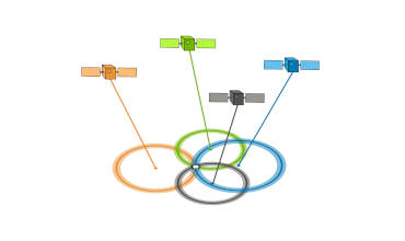
Loran-C operates on the principle of hyperbolic navigation, leveraging synchronized ground-based transmitters to calculate position via time-difference measurements. A key enabler of its long-range capability is the use of skywaves, radio waves reflected by the ionosphere, which extend signal coverage beyond the horizon. However, skywave propagation introduces complexities, such as signal delay variations, requiring compensation for accurate positioning. Geometric Dilution of Precision (GDOP) further influences accuracy by quantifying how the spatial arrangement of transmitters affects error margins a concept often illustrated through geometric diagrams. To address propagation challenges, Millington’s Method provides a mathematical framework for modeling both groundwave and skywave paths, enabling precise predictions of signal behavior across diverse terrains and atmospheric conditions.
Operational Implementation: Installation, Charts and Receiver Utilization
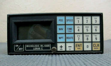
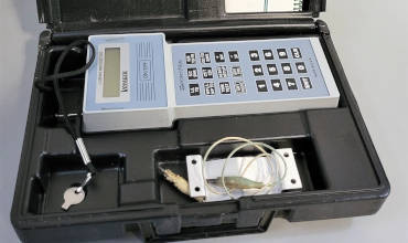
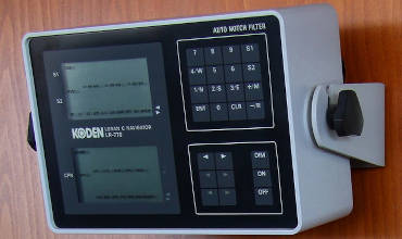
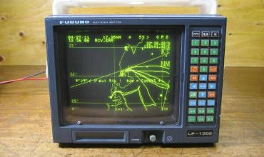
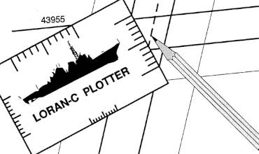
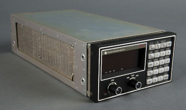
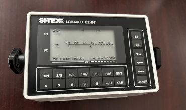
Deploying Loran-C demands careful installation of transmitter networks and user receivers, ensuring synchronization and signal integrity. Critical to practical navigation are Loran-C charts, which plot hyperbolic lines of position (LOPs) derived from time-difference values, allowing mariners and aviators to triangulate their location. Modern Loran-C receivers simplify this process with features like automatic signal acquisition, noise filtering and real-time position plotting. However, users must navigate challenges such as signal interference, skywave-groundwave mixing and chart corrections for local anomalies. Mastery of these tools-combined with an understanding of propagation nuances-ensures reliable navigation in real-world scenarios.
System Accuracy, Architecture and Legacy of Loran-C
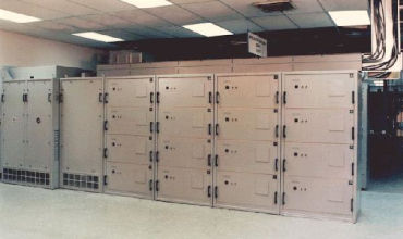
At its core, Loran-C achieves position determination with submile-level accuracy under optimal conditions, relying on precisely timed pulses from a hierarchical network of master and secondary stations. A detailed system view reveals its resilience through redundancy, error-checking protocols and synchronization techniques. While GPS has largely replaced Loran-C, the system remains a landmark in radio navigation history, exemplifying the interplay of physics, engineering and operational pragmatism. From introductory principles to advanced propagation models, Loran-C underscores the importance of balancing theoretical rigor such as GDOP analysis-with practical adaptations, cementing its role as a foundational technology in the evolution of electronic navigation.